
Latitude and Longitude
This simple exercise will help you learn to use latitude and longitude to find locations on a map.
Materials
Instructions:
This simple exercise will help you learn to use latitude and longitude to find locations on a map. Download and print the worksheet from the materials section. Write the name of the city and state found at the given latitude and longitude coordinates.
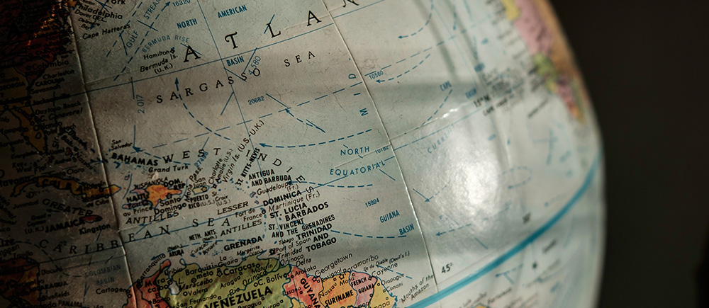
When it comes to small-scale maps covering large areas of Earth, cartographers use another kind of grid known as the graticule. This grid helps find an exact point on Earth.
You’ll remember that graticule is the grid of two sets of imaginary lines that circle Earth, called lines of latitude and lines of longitude
Lines of latitude start at the equator, which is zero degrees (or 0°) latitude. Anything north of the equator is labeled °N. Anything south is labeled °S.
Lines of longitude run north to south, from pole to pole. You can use these to find out how far east or west a place is. There are 360 lines of longitude. As with latitude, the distance between each line is called a degree.
Used together, latitude and longitude can identify a precise point where a place is located on Earth’s grid. This point is described with two numbers, called its coordinates. If you know the coordinates of a place, you can find it!